
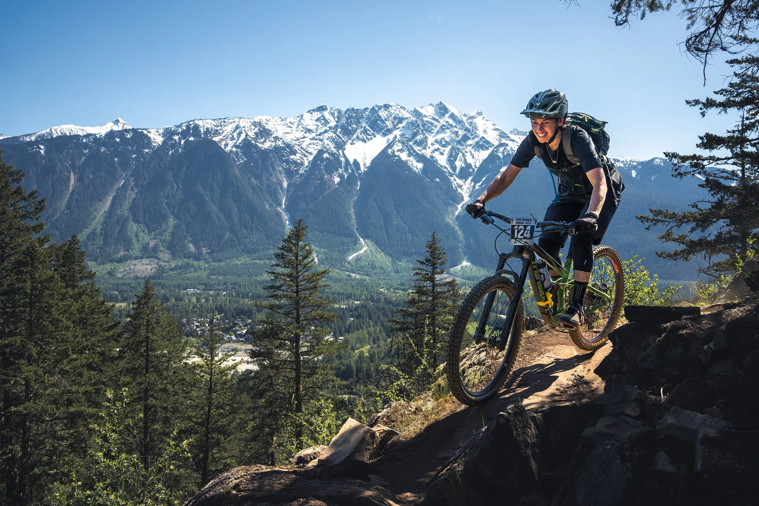
SUSTAINABLE TRAIL BUILDING IN PEMBERTON
Video by Shane Roy
It starts by knowing the land we recreate in.
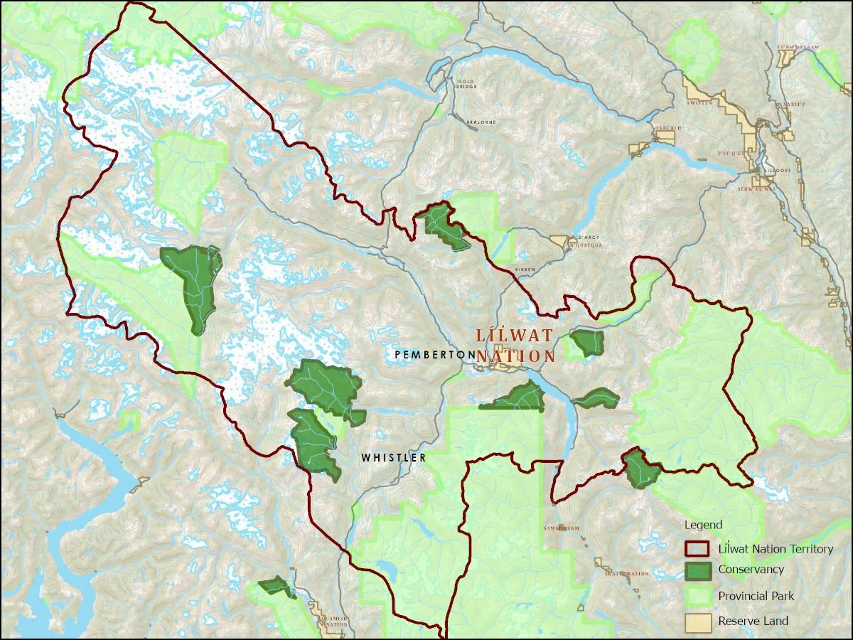
The Lil̓wat7úl have called their territory home since time immemorial. Líl̓wat artifacts dating back to 5,500 BC have been found from the Stein Valley to Bishop-Bridge and all the lands in between. For millennia, the people enjoyed an economy based on trade between other First Nations. And, as today, they valued the importance of family life.
The majority of Líl̓wat Nation citizens live near beautiful Ts̓zil (Mount Currie), British Columbia. Named for the spectacular 2,591 m (8,501 ft.) mountain in the centre of Líl̓wat Traditional Territory, the community is home to approximately 1490 of the Nation’s more than 2,275 members.
Líĺwat Nation:
Líĺwat Nation:
Has held its Territory, including all the lands, waters, and resources since time immemorial.
The Líĺwat7’ul are stewards of their Territory and are driven with protecting and managing their lands, waters, and resources today and for future generations.
Has Aboriginal Title and Aboriginal Rights throughout their Territory.
These Title and Rights have never been ceded, surrendered, or abandoned.
Asserts authority and autonomy to their entire Territory, and an Inherent Right to self-govern their uses of the lands, waters, and resources of its Territory.
The trails we explore are on the unceded territory of Líĺwat Nation, whose deep connection to this land inspires us to promote respect, sustainability, and responsible practices in all we do.
We ride through areas that hold deep cultural significance and have complex jurisdictional boundaries.
Did you know?
MacKenzie area is called Skelwíl̓
It holds many Spirited Grounds on the Riverside Skem’em Wetlands Community Parkand, by Ivey Lake West, in Mackenzie Basin on the north side of the Lillooet River.
It has many different types of Cadastre Parcels, including private lands around Mosquito Lake, such as the Radio Tower and Mission Impossible zone, as well as Líl̓wat Nation Option Lands extending from Meatgrinder to Happy Trail.
Mosquito Lake is called Nwal'ts, meaning 'on its side, car, wagon, boat or train'. When Mosquito Lake freezes in the winter, it sometimes looks lopsided.

One Mile area is called Snent̓
Many Líl̓wat Nation cultural and archaeological sites fall within these lands and a Category “B” Spirited Ground.
It also has a complex layer of “Crown land” and “BC Park Lands”. These parcels also have a title registered to a Crown Agency or a Crown Corporation (e.g. BC Hydro, etc.).

Upper Benchland area is called Skénkenam “Pemberton Creek that drains into One Mile Lake”
These lands are an established residential neighbourhood, and also contain lands that are slated for additional residential development in the future.
The Fat Tug area has been updated from the previous map with "private land" parcels for Nkwúkwma (Líl̓wat Business Group and Bethel Land Development Corporation).
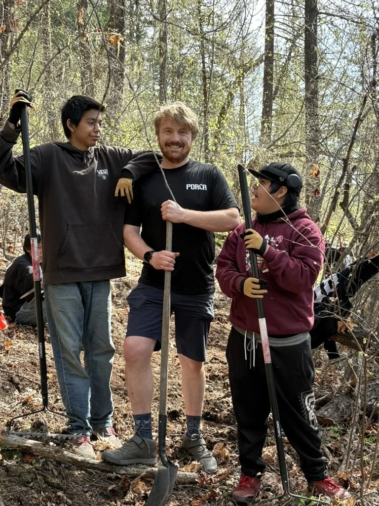
Some of the many elements to consider for trail maintenance and build:
-
![]()
Shared use with the logging industry
Many of our trail entrances and exits are on logging roads. Users should be aware of this and prioritize safety by, for example, carrying radios with them.
The Speĺkúmtn Community Forest holds an area-based tenure on land surrounding the Village of Pemberton and Mount Currie communities. The community forest is managed for environmental, social and economic values while taking into consideration the desires of its member and neighbouring communities
-
![]()
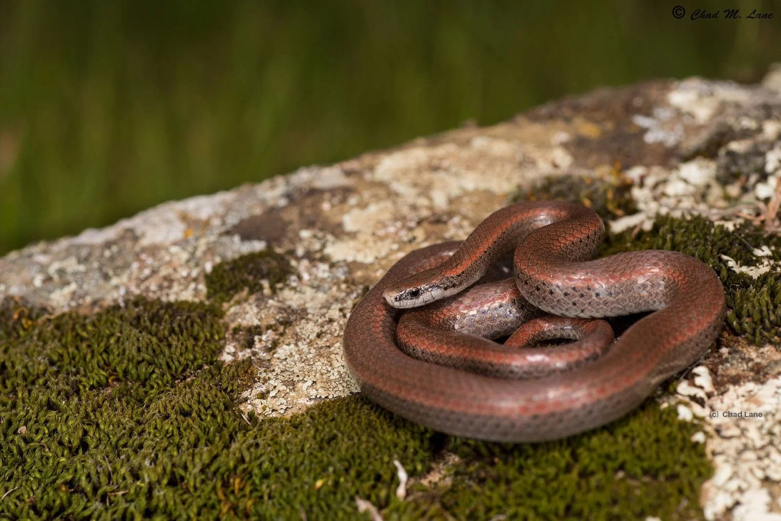
Did you know that the Sharp-tailed Snake, one of Canada’s most endangered snakes, lives in Pemberton?
The Sharp-tailed Snake (Contia tenuis) is tiny and can easily be mistaken for a worm. On average, adults are about the size of a pencil. The snake is distinguished by the sharp tip on the end of its tail, which is non-toxic and cannot harm humans. The tail helps the snake stabilize small prey, such as slugs, for consumption.
The Sharp-tailed Snake is a shy, secretive species typically found under rocks and logs, like those along our trails. This should be taken into consideration when maintaining the trails.
Visit the Pemberton Wildlife Association website to learn more.
-
![]()
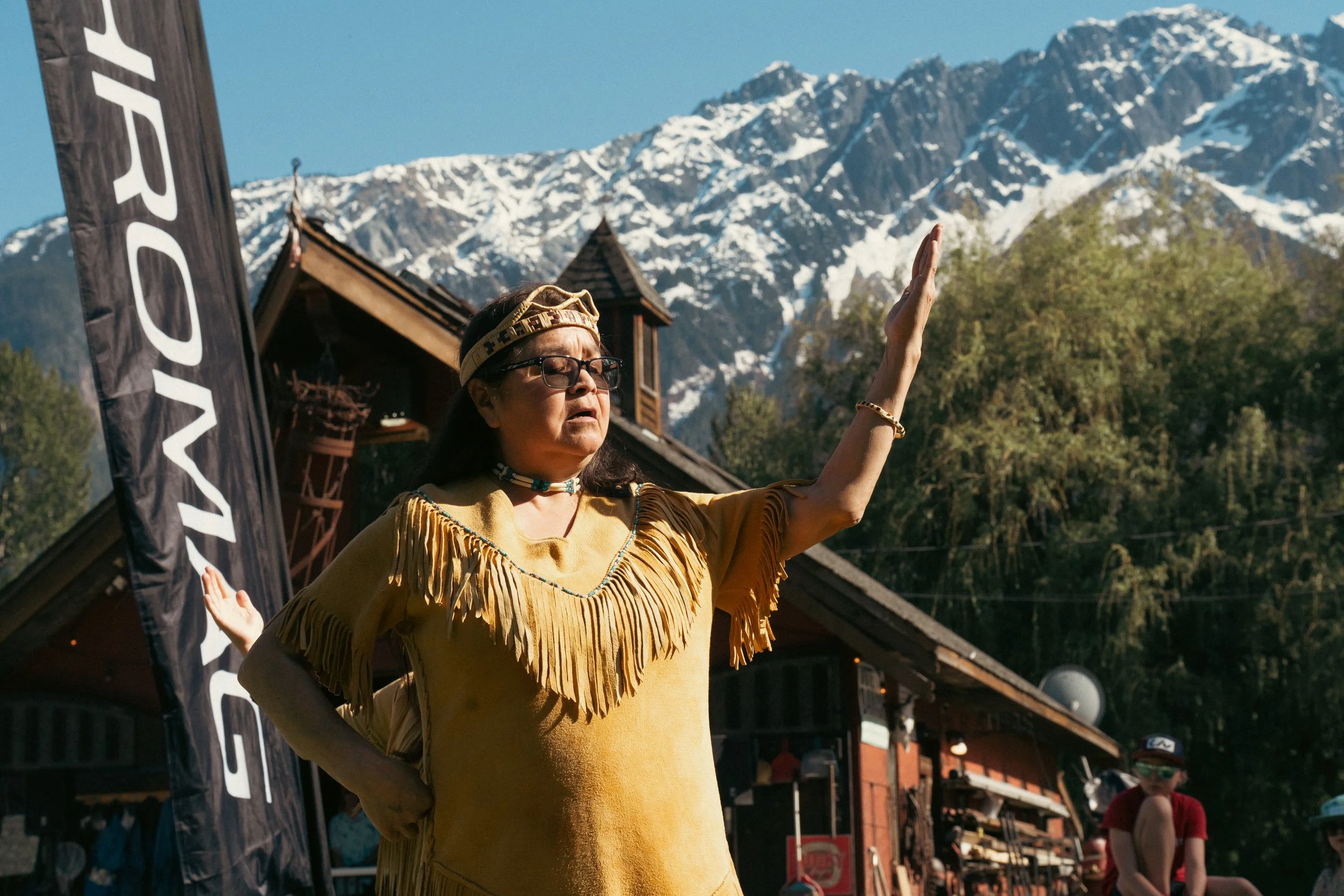
Cultural Impact
Líl̓wat Nation cultural artifacts, including pictographs, culturally modified trees, s7ístken (pit houses) and stone bowls dating back more than 5,000 years, have been found throughout Líl̓wat Traditional Territory. To preserve archeologically important sites, the Lands & Resources Department executes Archeological Assessments for prospective development sites. Any archaeological sites found are then registered for protection under the British Columbia Heritage Conservation Act.
The Líl̓wat Nation’s website is a fantastic resource for learning about the land we live on.

There are so many important factors to consider when maintaining existing trails or building new ones, things like bird and bat habitats, mushroom harvesting areas, erosion control, drainage, proper placement of waterbars, and much more.
The Pemberton Valley Recreation Trails Master Plan Working Group

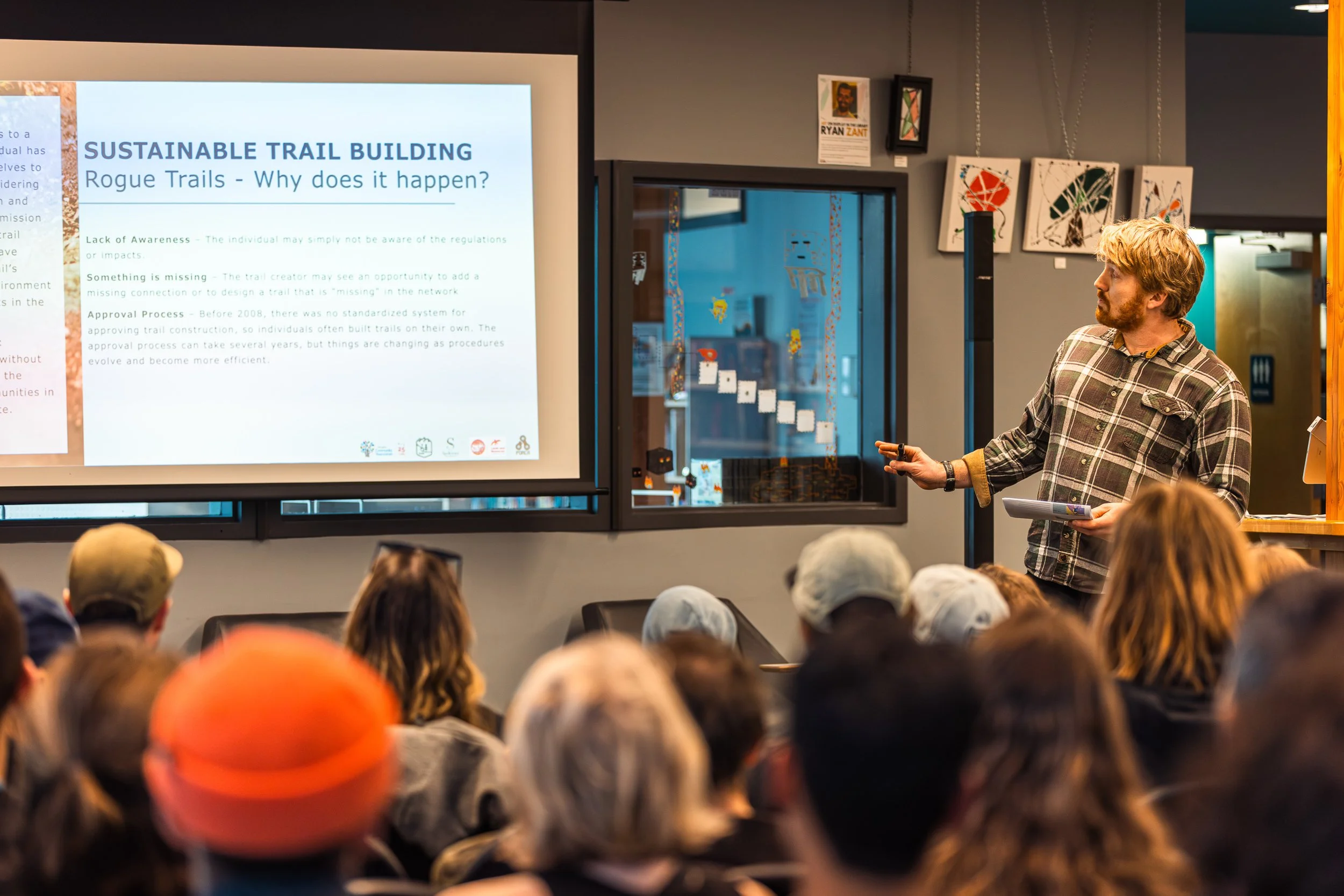
We understand rogue trails happen for a reason. Some trails or connectors might be missing in the trail network. Additionally, regulations are complex, the trail approval process can be lengthy and complicated. We're committed to understanding and testing these processes, and we're actively collaborating with our community to ensure things are done the right way.
In 2020, the Pemberton Valley Recreational Trails Master Plan (PVRTMP) was finalized after several years of consultation and collaboration between Rightsholders, governments and user groups.
PORCA is honoured to take part in the PVRTMP Working Group Committee. This committee’s mandate is to carry out the recommendations outlined in the Trails Master Plan. The Working Group currently has representative from Líl̓wat Nation, Squamish-Lilloet Regional District, Village of Pemberton, Pemberton Valley Trails Association, PORCA, Pemberton Wildlife Association and the Speĺkúmtn Community Forest. Other groups have also collaborated, such as Stewardship Pemberton Society, Pemberton Dirt Bike Association, Pemberton Valley Horse Association.
Having these conversations with all the groups that make up our community is essential. It’s the only way to truly understand the bigger picture and foster respectful approaches to trail building and maintenance. We’re constantly learning from one another, as well as adapting to evolving legislation, processes, and standards.
1-Project Concept to be sent to the PVTA by the Project Lead
2-Work Proposal presentation by the PVTA* to the Trails Working Group (Líl̓wat Nation, RSTBC, SLRD, VOP, PVTA, PORCA, PWA, SCF) for cross-check
3-Project Brief package by the PVTA* to the Líl̓wat Land Use Referral Committee for approval
4-An archaeological study by Líl̓wat Land & Resource field technician
5- Environmental study by a local ecologist
6-Letters of support from land owners, local government, Líl̓wat, SLRD, VOP, developers, and other stakeholders
7-Full Section 56/57 package by the PVTA to RSTBC for approval
Section 57 Authorization: Allows trail construction or maintenance on “Crown land”, requiring an application through FrontCounter BC and consultation with First Nations and stakeholders.
Section 56 Establishment: Changes “Crown land” status, placing management responsibility on the Provincial government. Requires a partnership agreement for trail maintenance.
8- If approved, it is then under the PVTA's responsibility to build/maintain the trail going forward in collaboration with the other participating organizations or individuals
This work is done before shovels hit the ground
Find more about PVTA’s work here!
Protocol to achieve a section 56 / 57
Thank you to the Whistler Community Foundation for supporting our efforts to raise awareness around sustainable trail building in Pemberton.
